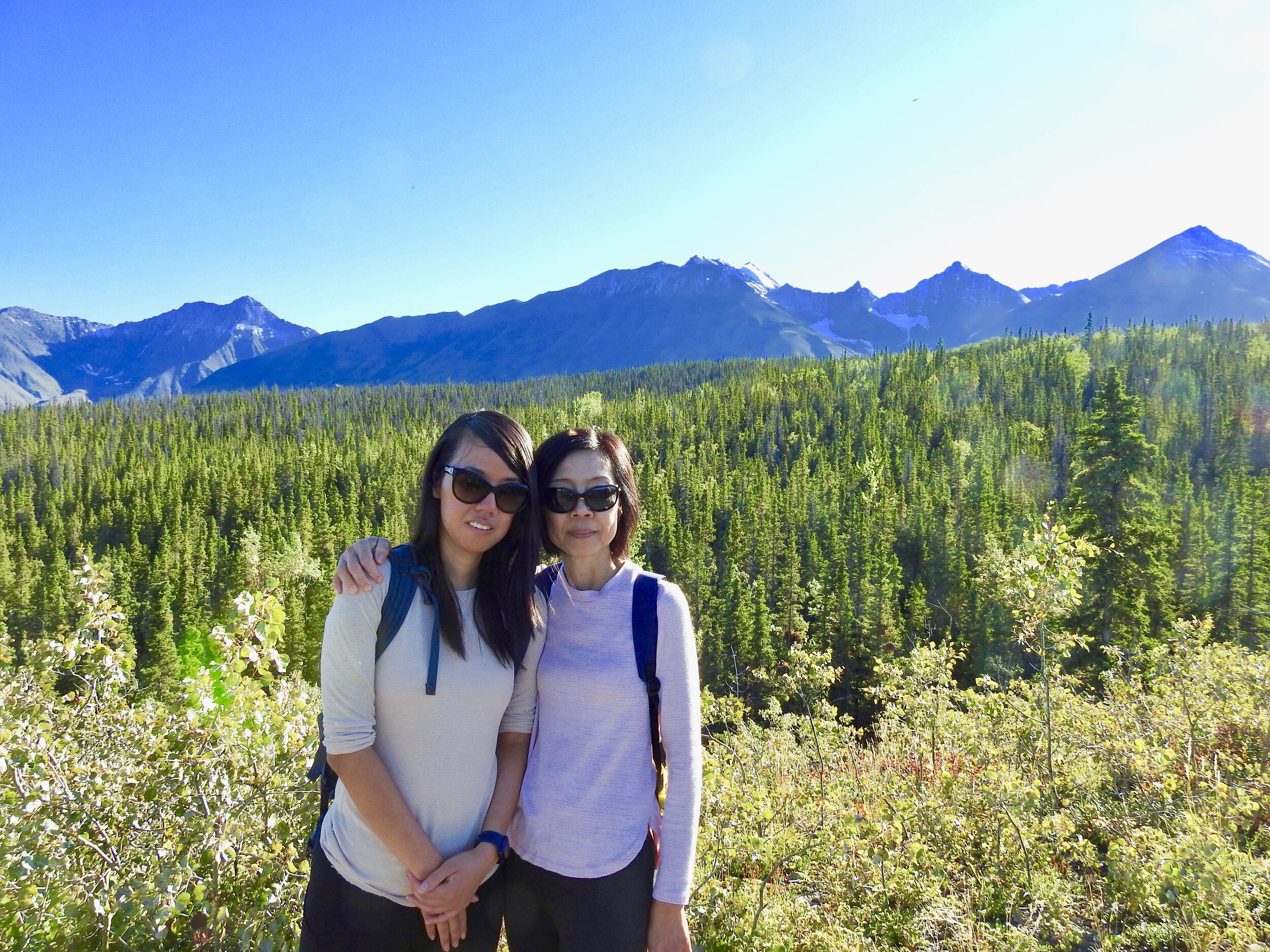
Day 1 involved arriving in Whitehorse International Airport, driving to Superstore (for bear spray) and Canadian Tire (for water and fresh fruits). A hearty dinner was enjoyed at Mile 1016 Pub. We drove to Haines Junction. FYI, a good place to stay at would be Raven’s Rest Inn. They have super friendly service and included a homemade breakfast. Their hospitality was deeply appreciated.
Credits:
https://www.pc.gc.ca/en/pn-np/yt/kluane/visit/services/kathleen
https://www.yukonhiking.ca/kings_throne.html
https://www.pc.gc.ca/en/pn-np/yt/kluane/activ/randonnee-hiking/auriol
Stop #1: Kathleen Lake - Highly Recommended
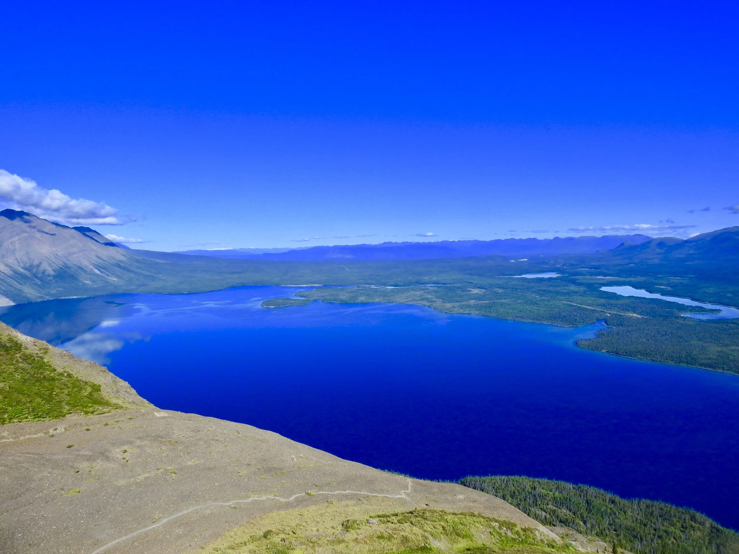
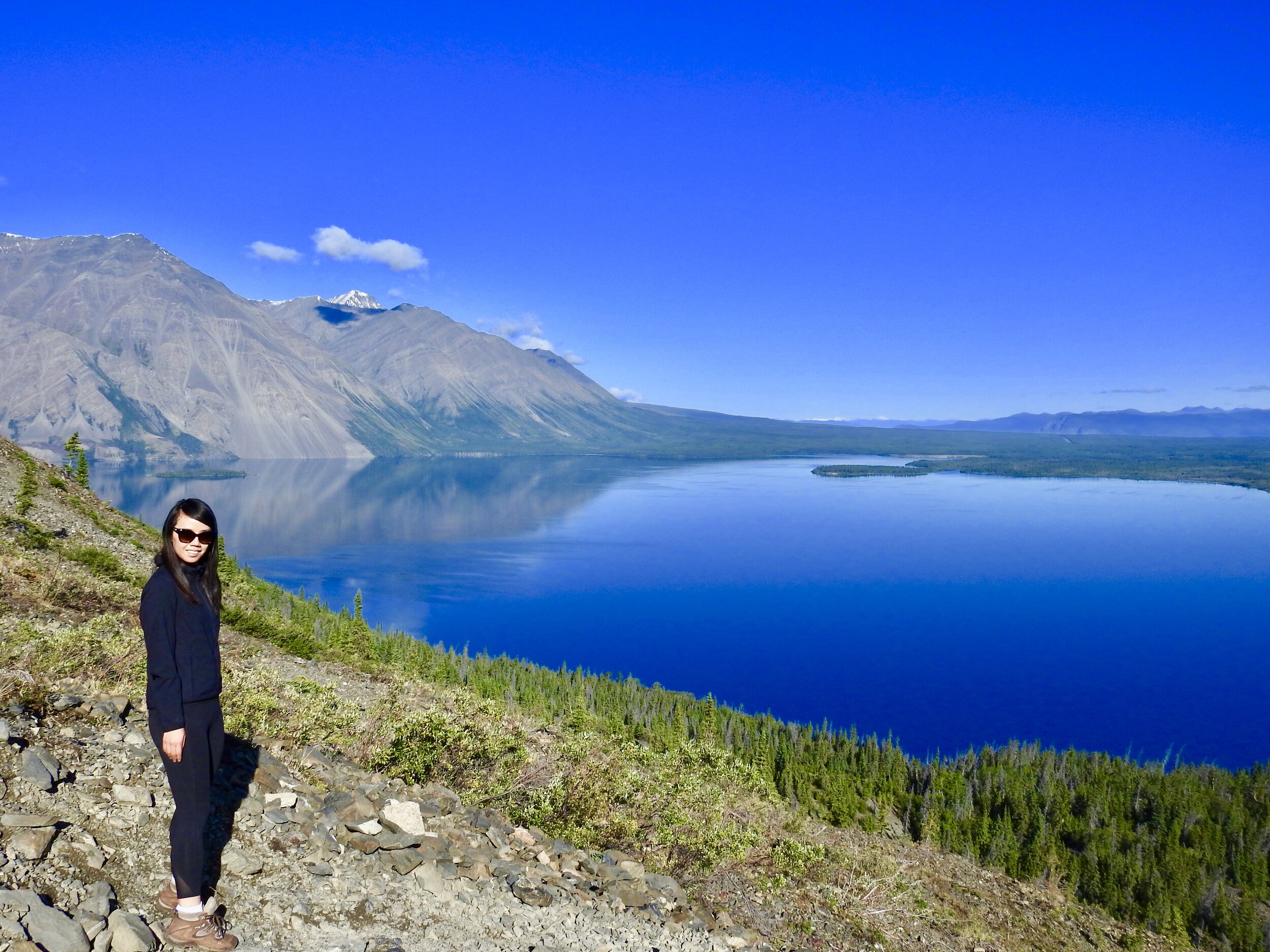
Just a short drive from town is sparkling Mät’àtäna Män (Kathleen Lake), where the mountains of the Kluane Range frame the lovely and peaceful lake. Stroll along the lovely Kokanee Trail, a 0.5 kilometre wheel chair accessible boardwalk that skirts the shores of Kathleen Lake starting from the day-use area.
Stop #2: King’s Throne Trail (base) (Partially Completed)- Highly Recommended
Tip: Bring hiking poles and sturdy footwear.
Distance: 15km return trip (Completed 8.3km to the base)
Elevation gain: 1250m
Difficulty Level: Difficult
Time: ~8 hours
We talked to a friendly ranger, and decided to attempt the King’s Throne Trail. We were somewhat apprehensive about this awe-inspiring trail, as conditions were not too windy.
The King's Throne is truly a majestic site when viewed from the shores of Kathleen Lake. It is one of the more popular day hikes in Kluane National Park, with breathtaking views of the surrounding valleys and Kathleen Lake below. The route described goes to the summit, though many people opt to save their knees and stop once they reach the seat of the throne (at the top of the rock glacier, about two thirds up). We stopped at the base and completed 8.30km, as coming down would be challenging.
After a steady climb in the trees, you will reach the treeline and will be following the rest of the path through loose rocks. Here you will get your first view of Kathleen Lake and the surrounding valley. The path switchbacks up the rock glacier and should be clearly visible if there is no snow on the trail.
You will reach an obvious plateau in the 'seat' of the King's Throne with an amphitheater of rocky ridges surrounding you. This is a popular lunch stop with an amazing view, and is the turn around point if you are not interested in climbing along the steep ridge to the summit or are looking for a shorter hike.
If you decide to continue up towards the summit, the trail becomes increasingly challenging, but is well worth the effort for the extra view of the other side of the mountain. Facing the mountain, you will be taking the left ridge, so continue along the trail and follow it up the steep climb to the top of the ridge. This left ridge will eventually lead to the summit on the right, so don't be tempted to take a short cut and climb the ridge on the right - it's even more steep with loose rocks.
Please click on this link for more information.
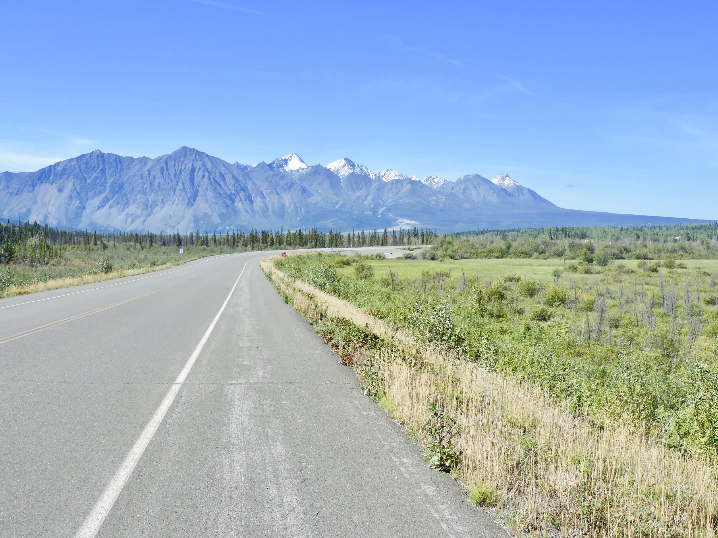
Driving along the glorious Alaska Highway
Stop #3: Auriol Trail
Distance: 15km return trip
Elevation gain:
Difficulty Level:
Time:
Note: You could consider skipping this hike if you are pressed for time. It was lovely, nonetheless.
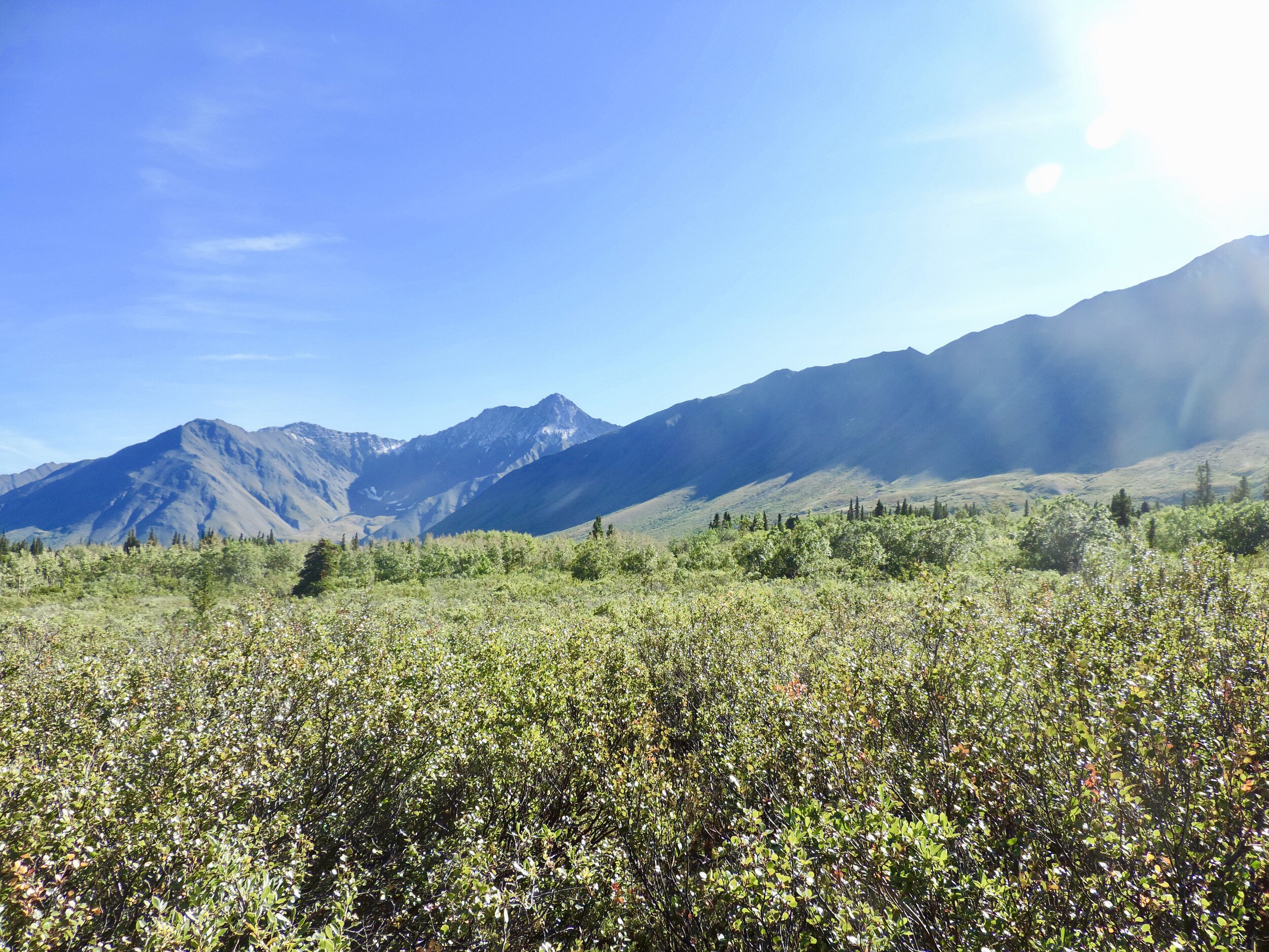
The Auriol trail is a half day loop. The trail cuts through mixed boreal forest and leads to a sub-alpine bench just in front of the Auriol Range. From the upper reaches of the trail there is the possibility of continuing up through the sub-alpine to areas of alpine and the mountain slopes. This trail is a common access route for people climbing Quill Peak, Mt. Martha Black and many of the unnamed peaks in the Auriol Range.
There are several nice viewpoints along the way. As well, signposts indicate two established viewpoints off the trail. From here you will see the town of Haines Junction as well as the valley and Ruby Range Mountains in the distance.
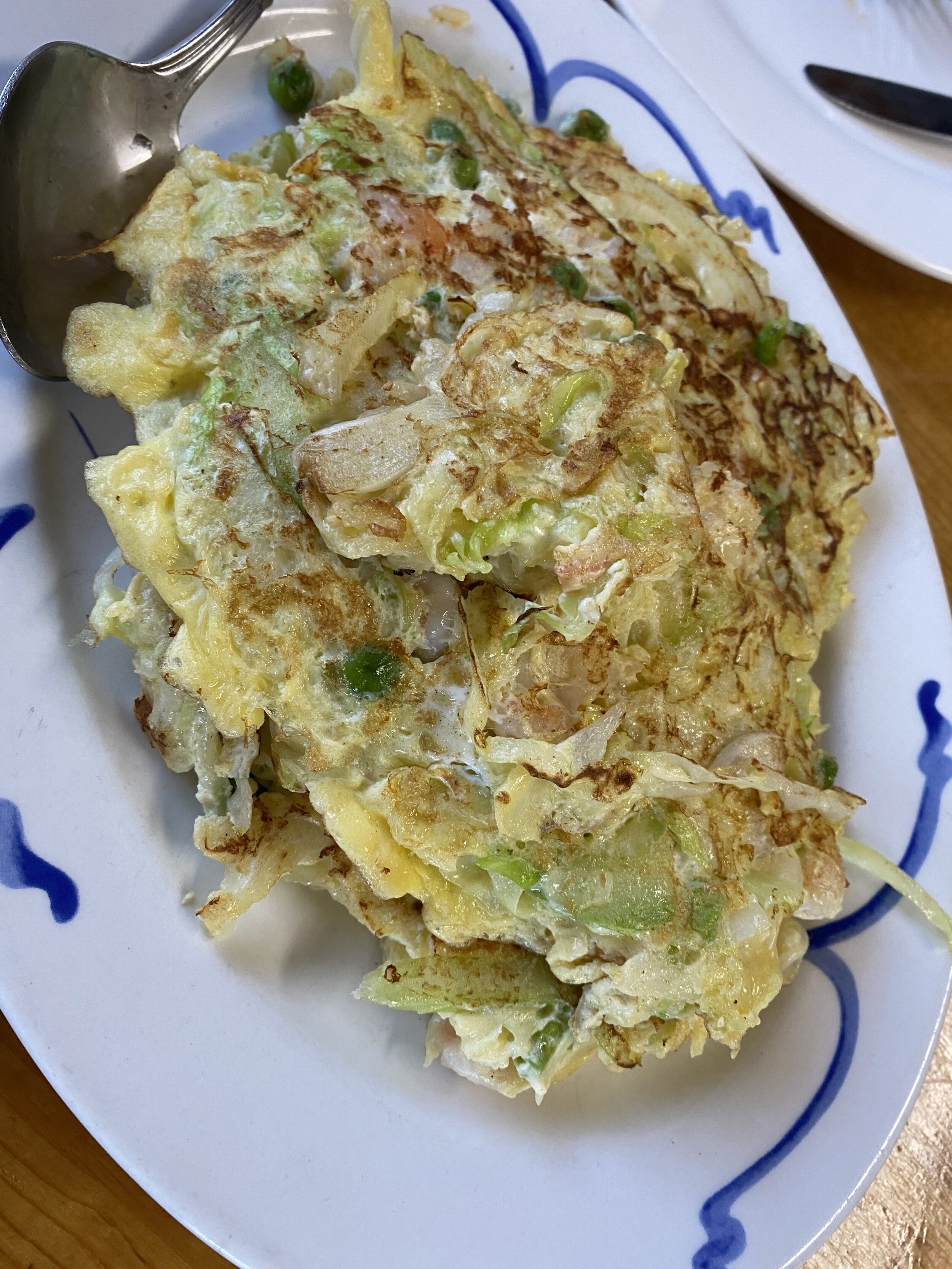
Stop #4: Lucky Dragon Restaurant
After a gruelling day of over 25km of hikes, some comforting Chinese food was definitely in order!
